Queen Isabella Memorial Causeway
Bridge Report
Starbase, Boca Chica · next local launch
Starship | Starlink Group 31-1 (Starship Flight 14)
Loading countdown…
Scheduled Mon, Sep 28, 7:48 AM CT from Orbital Launch Pad 2, Starbase. NET Mon, Sep 28, 7:48 AM CDT Starbase launches only (no Florida flights). Times change often; refreshed from the launch schedule every two hours. Source
To the island Heavy
| Bridge entrance (Port Isabel) → Padre Blvd3 mi | 12 min+7 vs free flow |
| SH 48 / SH 100 junction → Padre Blvd6 mi | 21 min+12 vs free flow |
| Laguna Vista (FM 510) → Padre Blvd9 mi | 31 min+18 vs free flow |
| Brownsville (I-69E @ SH 100) → Padre Blvd25 mi | 80 min+46 vs free flow |
| Port of Brownsville (SH 48) → Padre BlvdPort26 mi | 77 min+44 vs free flow |
Off the island Light
| Bridge exit → Port Isabel Hwy 100 lights2.5 mi | 4 minfree flow |
| Entertainment District → SH 48 / 1005 mi | 8 minfree flow |
| Convention Center → SH 48 / 1009 mi | 14 minfree flow |
| Padre Blvd → Port of Brownsville (SH 48)Port26 mi | 33 minfree flow |
| Padre Blvd → Valley Intl Airport (HRL)45 mi | 52 minfree flow |
Today so far · minutes, SH 48/100 → Padre Blvd
peak 21.1 min @ 10:35aReadings saved through the day. Distances are approximate road miles; drive times come from the live traffic provider once connected. Once readings are saved for a season, this becomes a forecast: the same weekday, same event, last year.
Cameras along the route · nearest the bridge first
Stills refresh every 1–3 minutes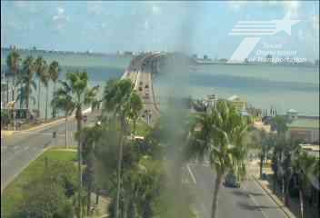
PR 100 @ Tarnava St, Port IsabelTxDOT · confirmed · ~0.5 mi from the bridge
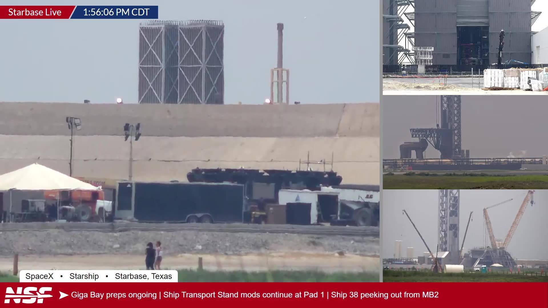
Floresta St, Port IsabelWindy.com community cam · verify view · ~1.5 mi from the bridge
PR 100 four cornersTxDOT · verify view · ~1 mi from the bridge
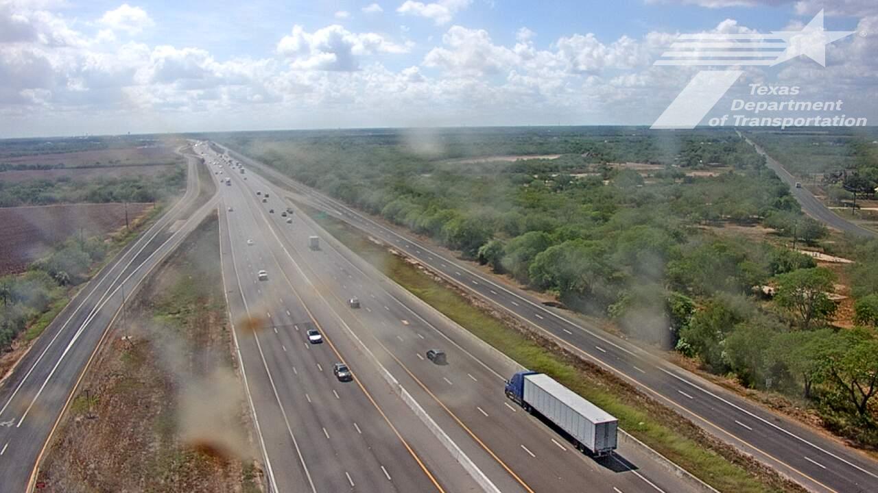
I-69E @ SH 100, Brownsville (southbound)TxDOT · confirmed · ~25 mi from the bridge
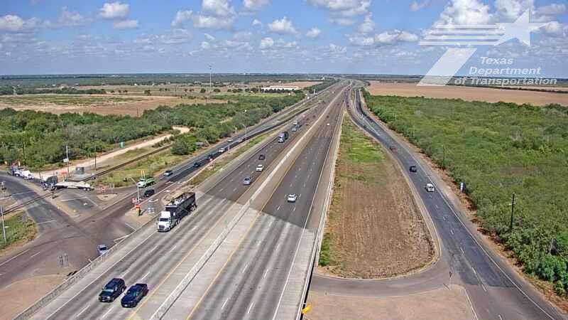
I-69E @ SH 100, Brownsville (northbound)TxDOT · confirmed · ~25 mi from the bridge
Two short emails a week